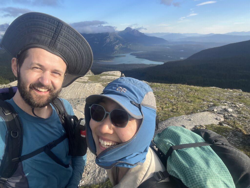
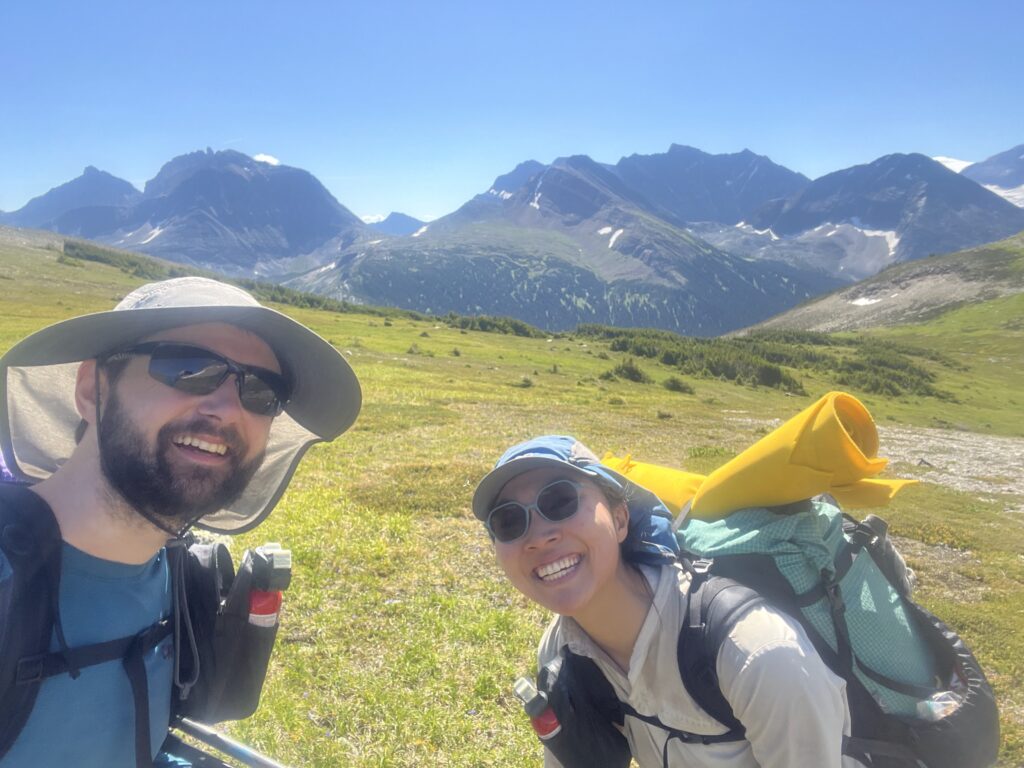
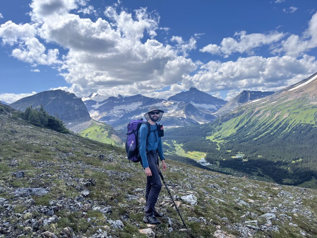
We hiked the Great Divide Route in July/Aug 2025 continuously after sections F and G of the Great Divide Trail.
The GDR is a untracked route of about 200km that extends north along the Canadian Rockies after the northern terminus of the GDT. There is nearly no trail, and only a small number of people hike it annually.
Below are additional notes we think future hikers might appreciate. It no where near is an exhaustive list of all key information. For that, please reference this website where we obtained all information for our trip: https://sites.google.com/view/hikingthegreatdivideroute/home
So much gratitude for the following people:
- Everyone who hiked and posted their trip reports prior to us – Dan Durston, Gmoser group, Meghan and Bailee, Funsized.
- Bill’s Dad, Steve Bateman, for being the best trail manager
- Our friends Patrick and Marina who met us at Monkman with BBQ and wine!
General Notes
- With our itinerary, we started hiking around 8AM daily and got to camp anywhere between 4-7PM. We never did heinously long days.
- Our GPX track can be downloaded here
- Sean and Joy at Robson Adventures helped us with both our resupplies. We cannot recommend their services more!
- 1: Blueberry Lake Trailhead; food stored in the lockers
- 2: Bastille Trailhead on the Walker FSR; food stored in a canoe barrel, and also chicken wired to a tree
Day 1: Kakwa Lake Cabin to Jarvis Lakes Cabin
23.5 km, 355m gain, 367m loss
- No drama. Trail to Jervis Cabin after the tote road is on and off.
Day 2: Jarvis Lakes Cabin to Narraway River
23.1km, 651m gain,839m loss
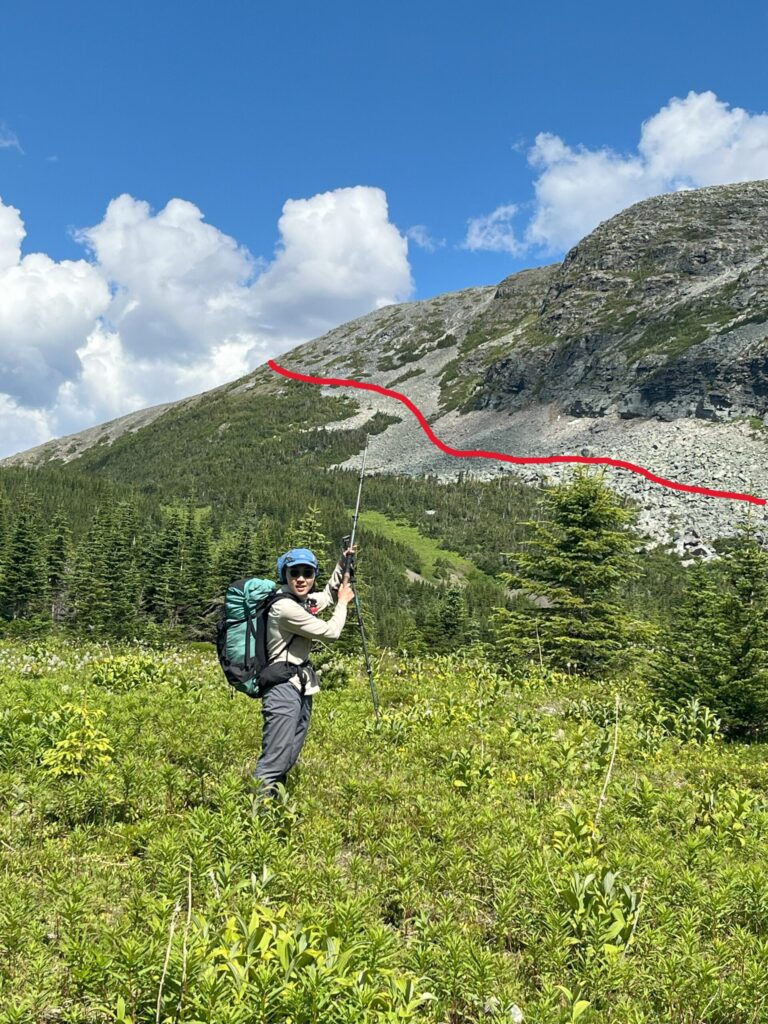
- Gained the ridge after Moonias Lk. by bushwacking up the relatively less steep NE side. Slow and lots of bush.
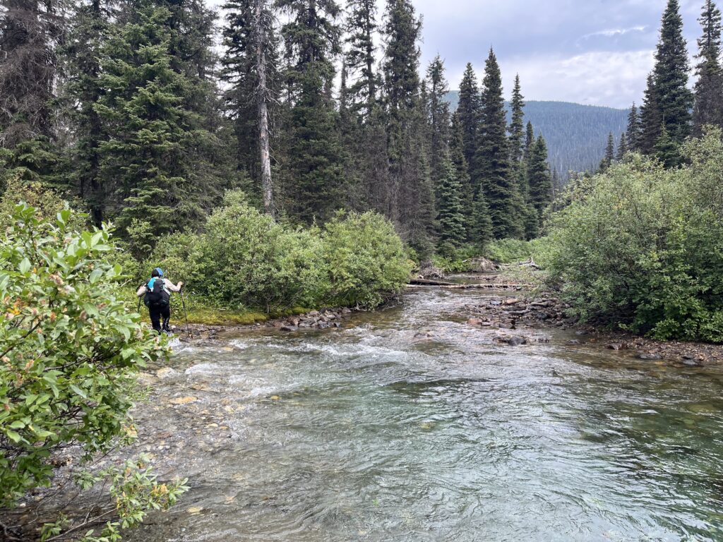
- Found a good but small camp spot (1-2 tents) south of the Narraway right at our crossing. Crossed river at thigh high along gravel banks (then crossed back). No drama.
Day 3: Narraway River to Amisk Lk.
20.0 km, 897m gain, 498m loss
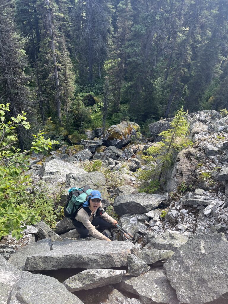
- Short but steep boulder traverse down around Watin Mtn’s north shoulder was a surprise. Avi chute descent was also pretty steep.
- Amisk Lk. camping was superb
Day 4: Amisk Lk. to Desperate Camp
19.9 km, 838m gain, 884m loss
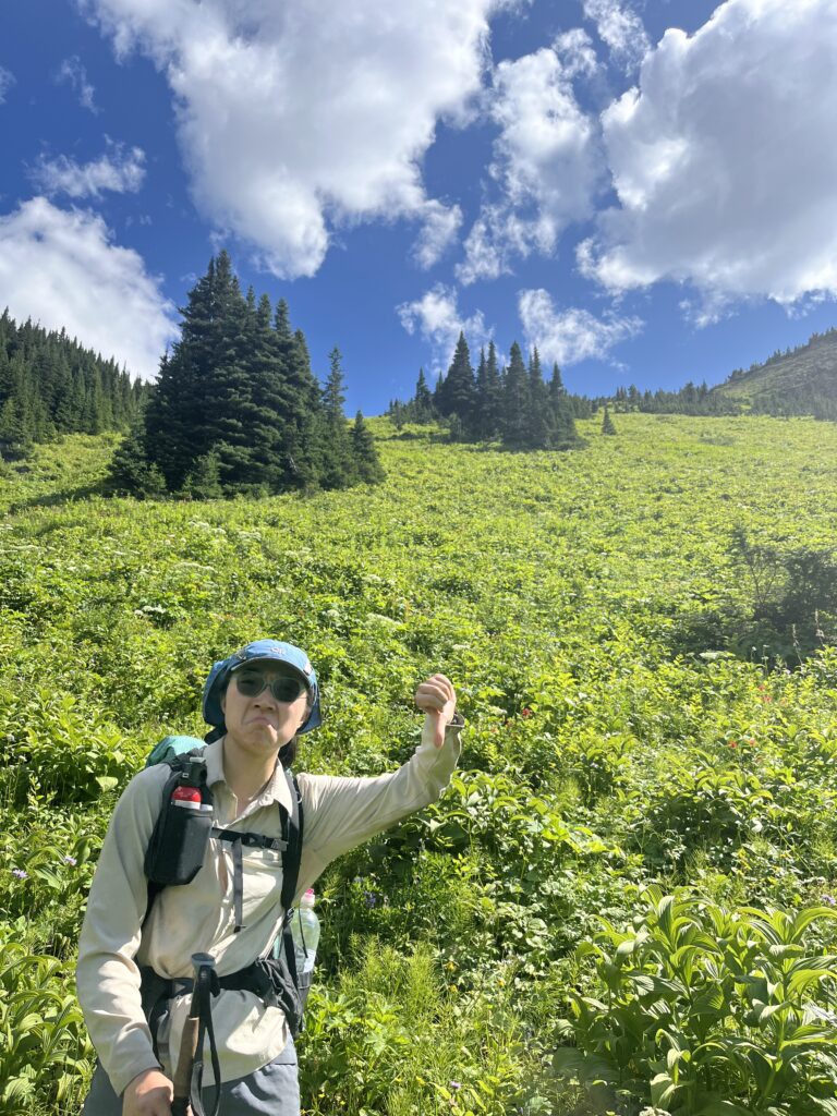
- The sidehilling before camp was steep intense. Shoulder high shrubbery and many gullies. Very slow going.
- We were desperate to camp after the sidehilling, and luckily the meadow you drop into is very nice. Much better water source than Relief Pond (next day), which for us was quite small.
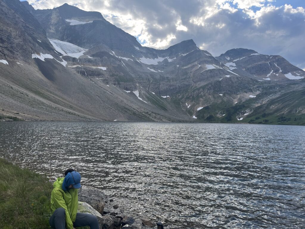
Day 5: Desperate Camp to Gusty Lk.
19.3 km, 705m gain, 696m loss
- Approach to Warner was slow and bushy, no drama.
- Warner Lake is beautiful, but the campsite didn’t seem that nice due to some tarps and trash (presumably left by ATVers). The 2km or so on the blade trail is a nice change of pace!
- Climbed first cliff band north of Warner, and skirted east around second cliff band.
- Considered gained Gusty Lk. directly from Warner lake by gaining the north straight on, but decide against it. Looks doable, see photo.
Day 6: Gusty Lk. to Tuck Lk.
12.1 km, 494m gain, 805m loss
- Wide NWly arc around first descent was reasonable
- Gaining the hill after the meadow walk had some cliff band skirting
- At the pass, there is a south flowing river that drains entirely into a really cool 1m hole
- Meadow at Tuck Lk. was very wet, but reasonable spots at eastern end
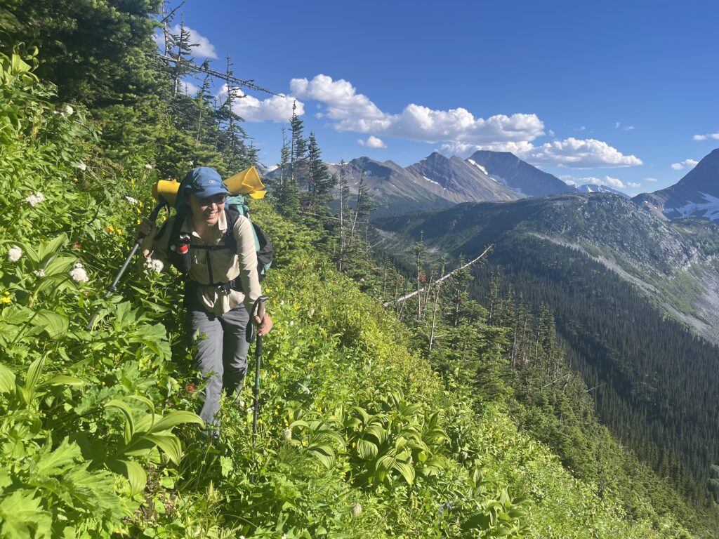
Day 7: Tuck Lk. to Limestone Lakes
18.4 km, 537m gain, 463m loss
- Spent some time walking along the Framstead
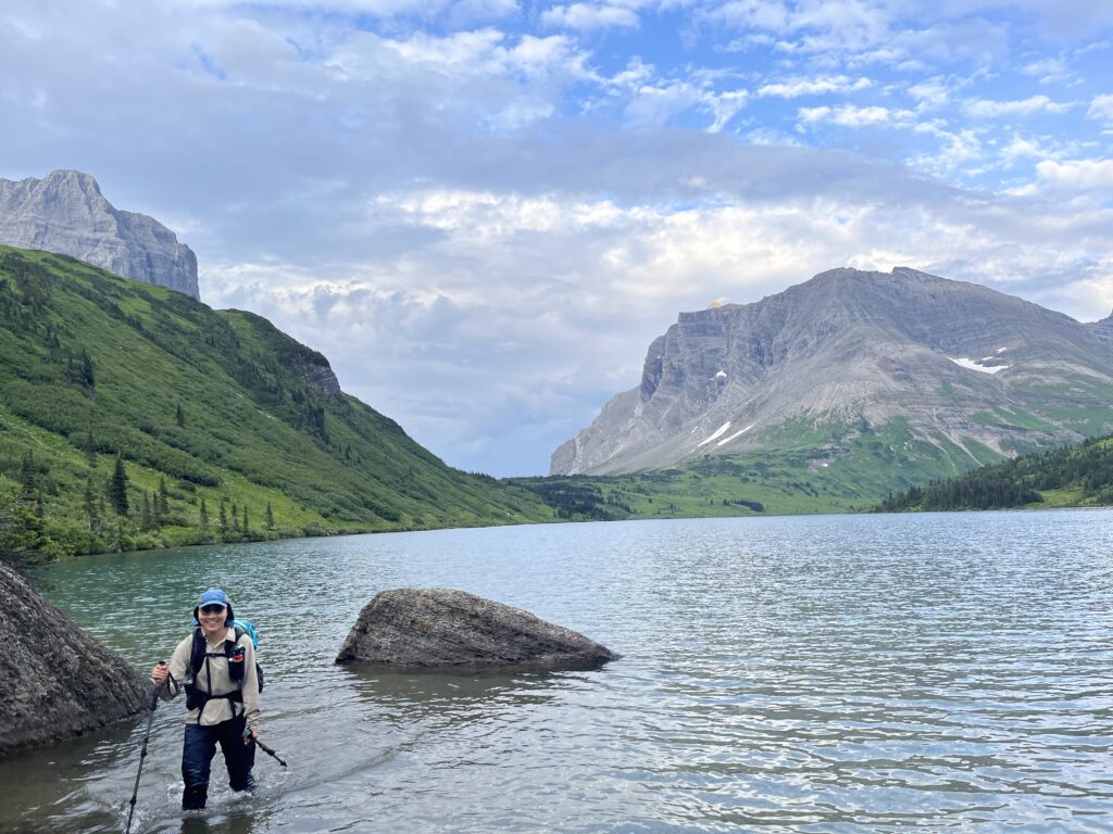
- Saved lots of time simply walking in the Limestone Lakes instead of bushwhacking along it. Relatively warm water.
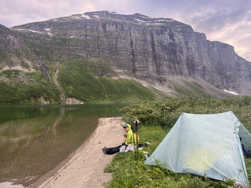
- Lovely small gravel beach camping spot on north shore of middle lake
Day 8: Limestone Lakes to Hugh Lk.
27.1 km, 1098m gain, 934m loss
- After the Limestone Lakes, we found no good water source until tree line at Monkman Pass. The ponds below tree line were mud pools.
Day 9: Hugh Lk. to Monkman
35.4 km, 633m gain, 1322m loss
- Great trail at tree line, with many recent trail work. Shorts friendly after Monkman Lake!